Access your IGN map, along with more than 80 worldwide basemaps and layers, even offline. For over 10 years, Iphigénie has been the go-to mobile app for thousands of users, both individuals and professionals.


Official IGN map at a 1:25,000 scale. It is the reference map for outdoor activities, providing detailed information about the terrain, including trails, forests, glaciers, and more. It also shows the topography with contour lines at 10-meter intervals.
Available at different zoom levels, this basemap is made up of a collection of satellite images covering France.


A worldwide topographic map created using OpenStreetMap data and SRTM elevation data from NASA. Like the IGN Scan 25, this map style is familiar to hikers and anyone who needs detailed terrain information.
IGN slope layer that helps identify areas at high risk of avalanches. As a layer, it can be overlaid on different basemaps
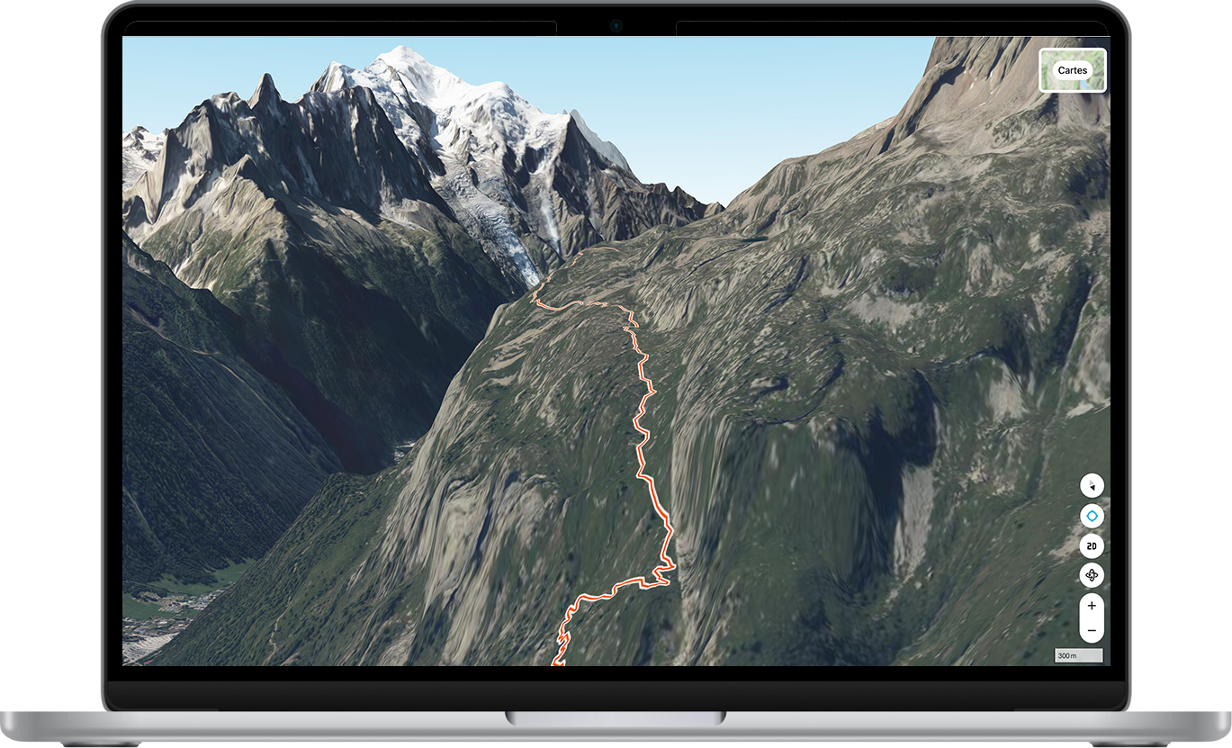


Discover all our tips and tricks for planning your hiking routes with precision. Dive into the world of Iphigénie and learn how to make the most of this essential tool to enjoy unique experiences in the great outdoors.
Iphigénie works with many partners to provide an increasingly powerful and useful app.

Access your Iphigénie app on all your devices


To support you in the field, whatever the conditions.

Plan your outings on a larger screen.
As a member of 1% for the Planet, we donate 1% of our annual revenue to environmental organizations.
They use Iphigénie and trust us.


Iphigénie, IGN maps, even offline.

Design & Tech by


.png)


.svg)
.svg)


.png)